
Disaster risk reduction through geospatial information and land administration
You May Also Like


First workshop of the Deployment and Engagement of Resources and Citizens for European Emergency Response project held in Gelsenkirchen, Germany
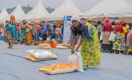
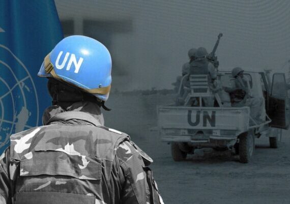
World News in Brief: UN humanitarian chief visits South Sudan, shelter fire risks in Gaza, West Bank violence
Heat stress and urban resilience: alternative cooling strategies to combat extreme heat in the urban environment

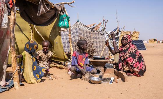
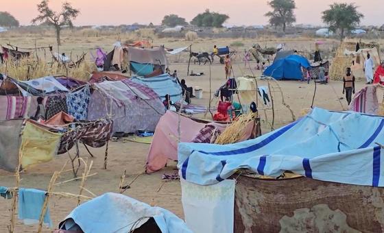
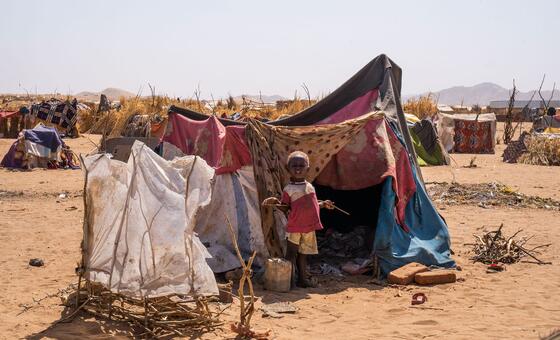
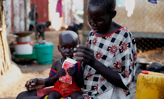
World News in Brief: Conflict deepens hunger crisis in South Sudan, restrictions hinder aid delivery in Gaza, UN child rights envoy concludes first visit to Syria
The Intergovernmental Oceanographic Commission (IOC) of UNESCO, strengthens public safety through better preparedness with NEAMWave26 tsunami exercise